Services
Surveying for every phase of your project
Solutions tailored to every stage of the project, from initial site analysis to construction control and final documentation, combining accuracy, technology and field experience.
- 01 / 04
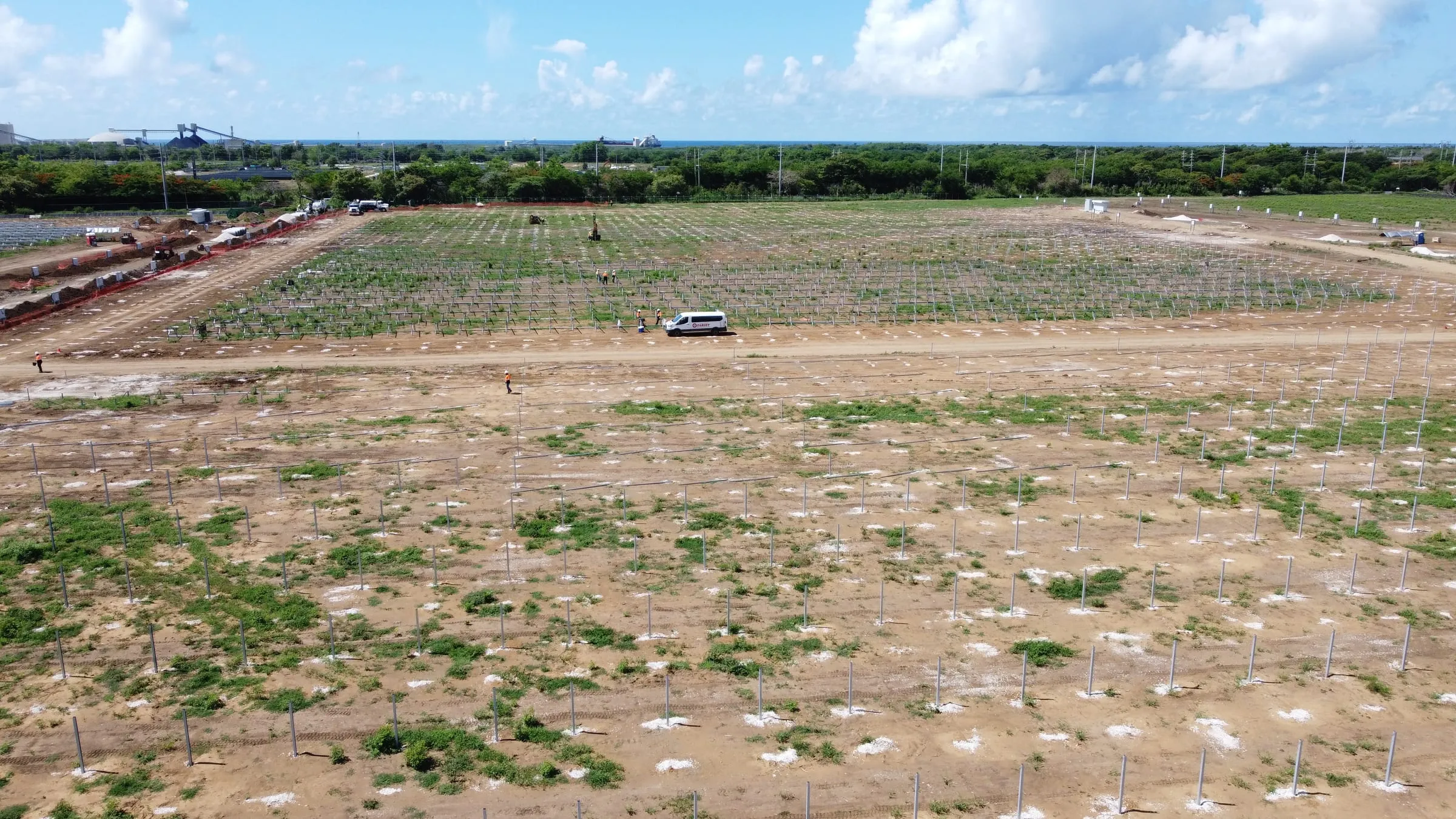
Land measurement and site analysis
We measure sites to determine their area, dimensions and physical characteristics with precision. We provide reliable survey data from the earliest stages of the project as a basis for planning and design.
View service - 02 / 04
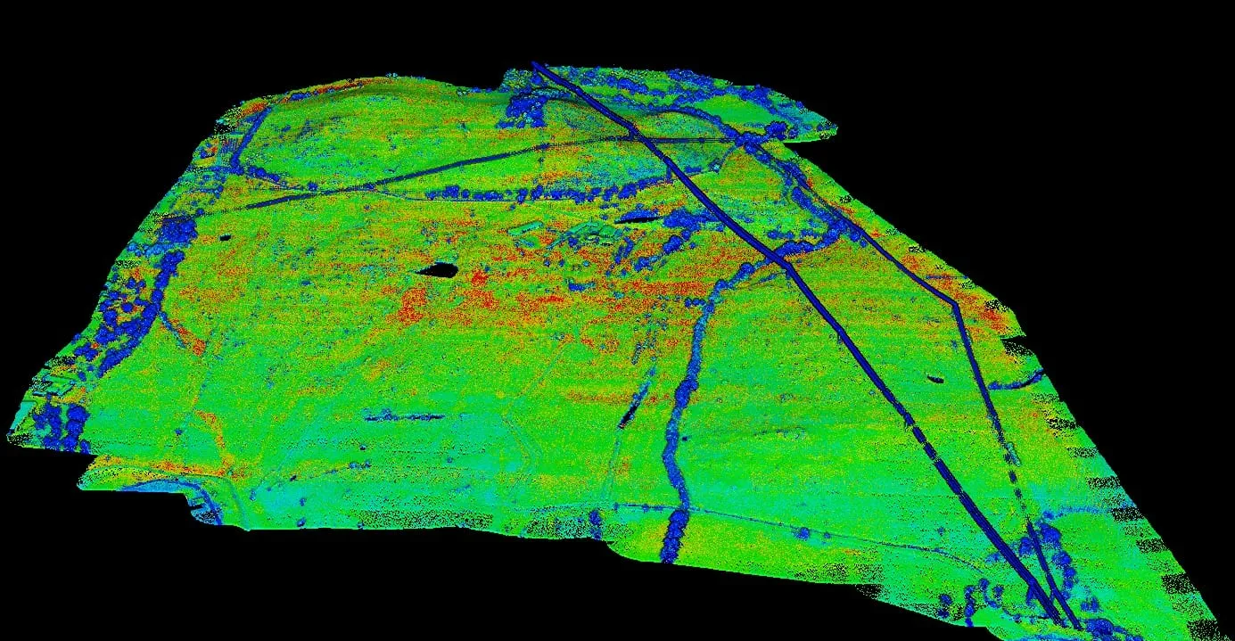
Drone photogrammetry and LiDAR
We use drone technology, photogrammetry and LiDAR scanning to capture detailed site data quickly and accurately. We produce orthophotos, point clouds, digital terrain models and 3D models that support project design, planning and progress monitoring.
View service - 03 / 04
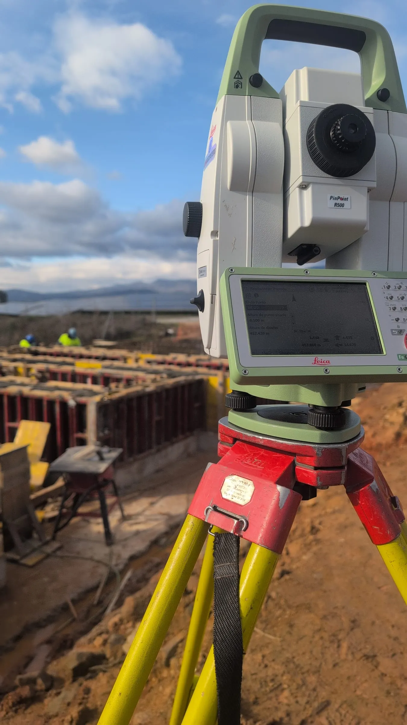
Topographic surveys
We perform high-accuracy topographic surveys to capture site topography, elevations and existing features. We produce topographic maps, contour lines and digital terrain models that serve as the basis for the design and development of engineering, construction and renewable energy projects.
View service - 04 / 04
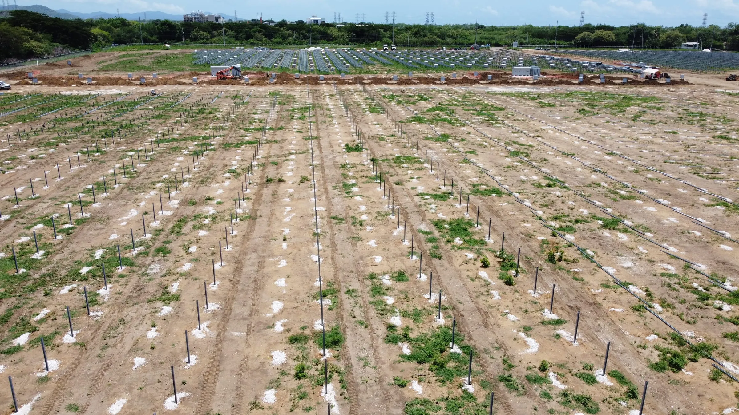
Construction staking
We lay out project designs on the ground through construction staking and survey control, ensuring that structures, foundations and installations are correctly located and built. We support every phase of construction, adapting to the schedule and needs of each jobsite.
View service