
Services
Topographic surveys
We perform high-accuracy topographic surveys to capture site topography, elevations and existing features. We produce topographic maps, contour lines and digital terrain models that serve as the basis for the design and development of engineering, construction and renewable energy projects.
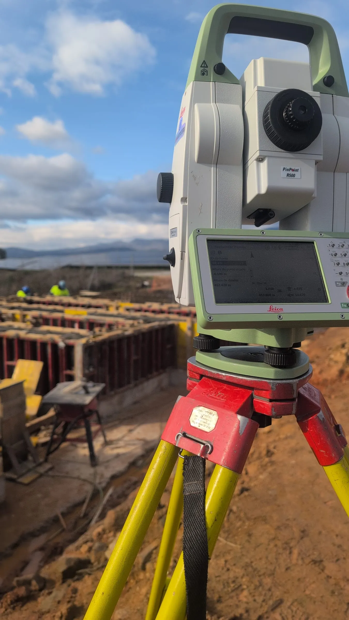
A topographic survey is the starting point for grading, drainage, road and layout design. We capture elevations, terrain breaks and existing features across the site, and deliver contours, surfaces and CAD drawings your civil and electrical engineers can design on.
On utility-scale solar and BESS sites, we combine ground methods with drone data when it makes sense, keeping full ground accuracy where the design depends on it: roads, drainage, foundations and tie-in points.
What it includes
- Site survey control network.
- Data capture with RTK GNSS and total station.
- Existing conditions: roads, drainage, utilities and structures.
- 3D surfaces, contour lines, profiles and cross sections.
- Accuracy report and CAD deliverables.
Deliverables
- 2D topographic plan
- DWG / DXF / PDF
- Digital terrain model
- LandXML / DWG / TIN
- Sections and volumes
- PDF / XLSX
- As-built drawings
- DWG / DXF / PDF
Project types
- Solar PV, BESS and wind design.
- Roads, trenches and drainage.
- Earthwork and cut-and-fill volumes.
- Industrial buildings and site developments.
- Closeout documentation.
Equipment
- RTK GNSS.
- Total station.
- Digital level.
- CAD and terrain modeling software.
How we work
- 01
Scope
We agree the survey area, point density and features your design team needs.
- 02
Control
We set up the control network in the project coordinate system.
- 03
Field survey
Data capture with RTK GNSS and total station, combined with drone data where useful.
- 04
Delivery
Surfaces, contours and CAD drawings, with an accuracy report.
FAQ
Can you combine the survey with a drone flight?
Yes. On large sites we combine drone and ground work to meet deadlines without losing accuracy where it matters.
Which coordinate system do you deliver in?
Whatever the project requires: NAD83 / Texas State Plane with NAVD88 elevations in Texas, ETRS89/UTM in Europe, or any local system you specify.
How do you decide the point density?
We agree it with your design team before going to the field, based on the terrain and on what the design needs: grading, drainage, roads or foundations.
Can you calculate cut-and-fill volumes?
Yes. We calculate them from the terrain model and deliver them as a report and in CAD format.