
Services
Land measurement and site analysis
We measure sites to determine their area, dimensions and physical characteristics with precision. We provide reliable survey data from the earliest stages of the project as a basis for planning and design.
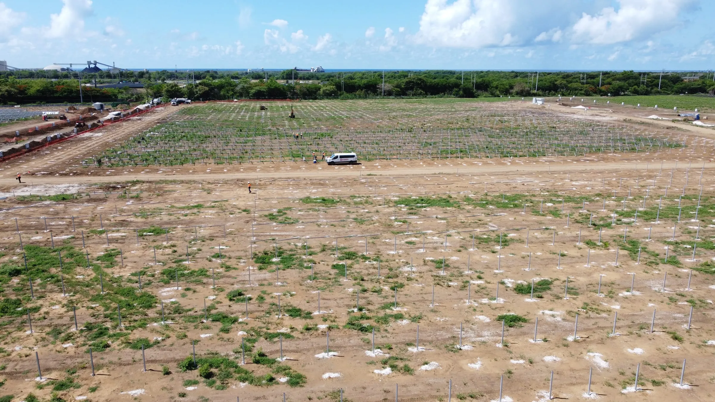
Before a solar or BESS layout is fixed, the design team needs reliable data about the site: its shape, its slopes, its access and what is already on the ground. Our crews measure the site with RTK GNSS and total station and turn the field data into drawings and files your engineers can use from day one.
We work for EPCs, contractors and developers, and adapt to the coordinate system, units and file formats of each project, so the data goes straight into your design workflow.
What it includes
- Field data capture with RTK GNSS and total station.
- Mapping of visible site features: access roads, fences, existing utilities and structures.
- Area and dimension calculations for planning and layout studies.
- Comparison of field data with the design documents you provide.
- Drawings and files ready for engineering.
Deliverables
- Dimensioned site plan
- DWG / DXF / PDF
- Point coordinates
- CSV / TXT
- GIS files
- KML / SHP
Project types
- Utility-scale solar PV plants.
- Battery energy storage systems (BESS).
- Wind farms.
- Substations and interconnection lines.
Equipment
- RTK GNSS.
- Total station.
- CAD and GIS software.
How we work
- 01
Scope
Share the site area (KML or coordinates) and what your design team needs.
- 02
Planning
We define survey control, the coordinate system and the field schedule.
- 03
Field work
Our crew measures the site with RTK GNSS and total station.
- 04
Delivery
Checked drawings and files in your formats.
FAQ
What do you need to get started?
A KML or the coordinates of the site area is enough to plan the work. Any existing design documentation helps.
Can you cover a large site in one mobilization?
Yes. We plan the field campaign to cover the whole site with as few trips as possible.
Which coordinate system do you deliver in?
The one your project uses, for example NAD83 / Texas State Plane with NAVD88 elevations, or any local system you specify.
Can this data feed the solar layout design?
Yes. That is its purpose: we deliver it in CAD and GIS formats so your engineers can start the layout on reliable site data.